 Mount Huashan
Home › Guides › Huashan Map: Where Are the Peaks, Trails and Cable Cars?
Huashan Map: Where Are the Peaks, Trails and Cable Cars?
This Huashan map guide shows where the five peaks, the two cable cars and the trailheads sit, with the walking and ride times between them. The mountain is about 120 km east of Xi'an, its trails total less than 20 km, and the map on this page marks what is closed.
Quick answer What is where, in one look
Huashan has five peaks: East, West, South, Middle and North. The West Peak cable car takes about 20 minutes and the North Peak cable car 7 to 8 minutes. The plank walk and Yaozi Fanshen are closed from 15 September 2026.
Key takeaways
- Walking routes and times are in Mount Huashan Hike: Which Route, and How Long Does It Take?.
- The closed cliff walkway is explained in Huashan Plank Walk: Is It Open, and How Dangerous Is It?.
- A guide who knows the map: Xi'an: Huashan Private Tour with Cable Car and Guide at $248 goes West up and North down.
- All routes, tickets and tours sit on the Mount Huashan tours page.
Interactive Huashan Map
Zoom in for the five peaks, the two cable cars, the ridges and the plank walk. Tap a pin for what is there and which guide covers it.
Pin positions from OpenStreetMap. Trail and cable lines are drawn straight between points and are approximate.
Where are the peaks on the Huashan map?
The East, West and South peaks face each other like a tripod, with the Middle Peak between them and the lower North Peak at the foot of the loop.
Huashan is a national AAAAA scenic area of 148.4 square kilometres in Huayin, Weinan, Shaanxi. From afar the three main peaks look like a flower, hence the name Hua. The routes on the map are explained on Huashan trail, and the cable cars on Huashan cable car.
Peaks and heights
Use this table as the legend for the map. The South Peak is the main peak and the highest of the Five Great Mountains. The North Peak is the lowest and is where the North Peak cable car ends.
| Peak | Height | What marks it |
|---|---|---|
| South Peak | 2,154.9 m | Main peak, Heavenly South Gate nearby |
| East Peak (Facing Sun Peak) | About 2,090 m | Chaoyang Terrace, the sunrise viewpoint |
| West Peak (Lotus Flower Peak) | About 2,086.6 m | Top of the West Peak cable car |
| North Peak (Cloud Terrace Peak) | About 1,614 m | Ear-Touching Cliff, top of the North Peak cable car |
| Middle Peak | Not stated | 15 minutes from the West Peak |
Sources: Huashan Scenic Area, Shaanxi Government.
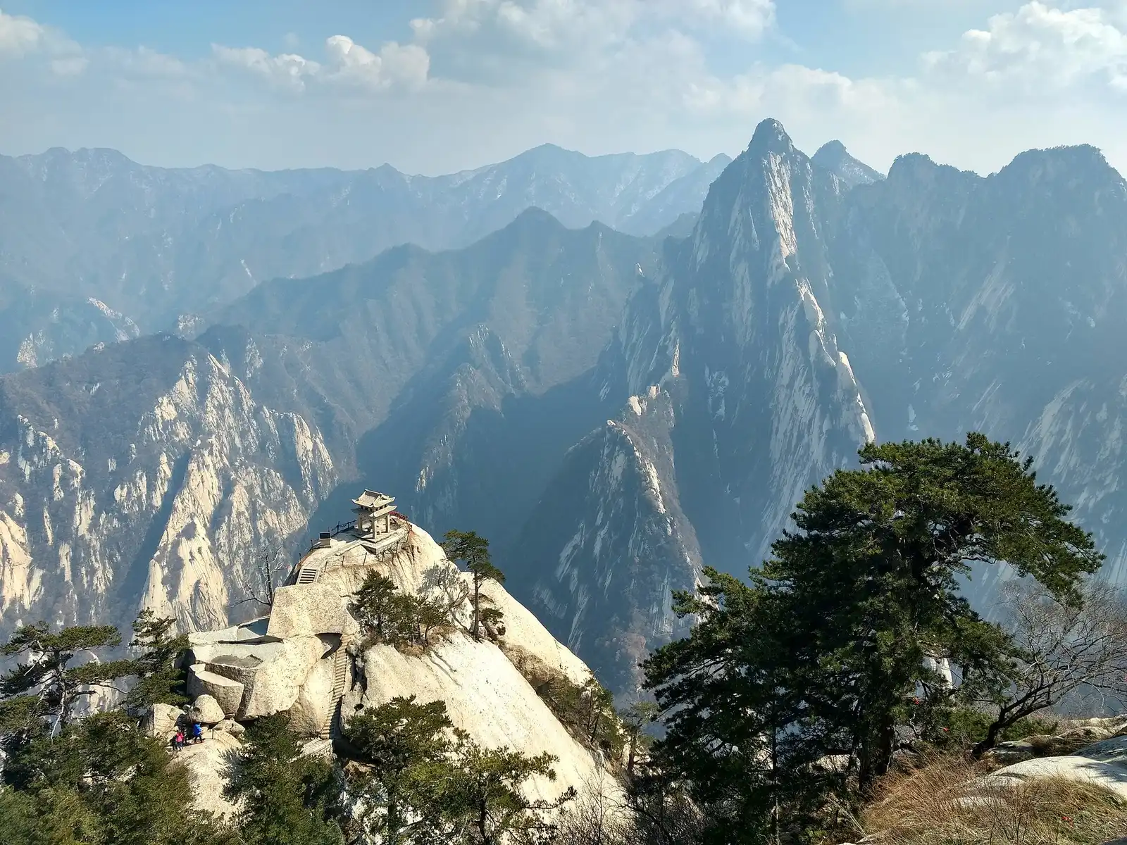
From the summit trails several of the five peaks are visible at once. Photo: May Wung, CC BY-SA 4.0, via Wikimedia Commons
Where are the cable cars, trailheads and stations?
The West Peak cable car starts at Donggoukou, the North Peak cable car at Wamiaogou, and the walking trail starts at Jade Spring Temple.
All of them start from the Tourist Service Center, the visitor center where tickets and shuttles begin. Huashan North station is not at the mountain.
Starts and ride times
The park buses cost CNY 40 one way to Donggoukou and CNY 20 one way to Wamiaogou. The times below are the published ride times. Cable car hours are 07:00 to 19:00 from March to November and 08:00 to 18:00 from December to February.
| Point | Reached by | Ride time | Fare one way |
|---|---|---|---|
| West Peak cable car, from Donggoukou | Wengyu bus from the Tourist Service Center | About 20 min over 4,211 m | CNY 140, bus CNY 40 |
| North Peak cable car, from Wamiaogou | Huangfuyu bus from the Tourist Service Center | 7-8 min over 1,500 m | CNY 80, bus CNY 20 |
| Jade Spring Temple, walking start | On foot or by bus | Not stated | Not stated |
| Huashan North station | High-speed train | About 5 km from the scenic area | Not published |
Distances to know
Wamiaogou, the North Peak cable car lower station, is reached by an 8 km concrete road from east of Jade Spring Temple. Huashan North station is about 3 km from Huayin centre. A taxi from the Dongshanmen parking lot to the station costs about CNY 25.
Sources: Shaanxi Government, Shaanxi Government.
How far is Huashan North station from the mountain?
Huashan North station is about 5 km from the scenic area, so it is a transfer point and not the trailhead.
The station is the only high-speed station in Huayin and sits at the north end of Huayue Avenue.
Station on the map
Place the station on the map first, then draw the road to the Tourist Service Center. It is about 3 km from Huayin centre and about 5 km from the scenic area. The Shaanxi government says free green minibuses run from the station to the mountain. The train from Xi'an North takes 30 to 40 minutes.
Huashan is about 120 km from Xi'an. Xianyang airport is about 138 km away with no direct bus, so travellers go through downtown Xi'an. The train and bus choices are in the Mount Huashan tours page options.
Sources: Shaanxi Government, Shaanxi Government.
How long does it take to walk between the peaks?
Most links between the peaks take 5 to 35 minutes, and the long climb from the North Peak to the East Peak takes about 2 hours.
The Shaanxi government lists the legs of the main ascent and of the loop. China Discovery lists the legs from the North Peak.
Walking times
The first table follows the main ascent from Jade Spring Temple. The second follows the loop around the summit. The plank walk is closed, so ignore any map line that crosses it.
| From | To | Time |
|---|---|---|
| Jade Spring Temple | Fish Stone | 30 min |
| Fish Stone | Hundred-Foot Crevice | 15 min |
| Hundred-Foot Crevice | Black Dragon Ridge | 5 min |
| Black Dragon Ridge | Golden Lock Pass | 25 min |
| Golden Lock Pass | East Peak | 5 min |
| East Peak | Heavenly South Gate | 35 min |
| South Peak | West Peak | 35 min |
| West Peak | Middle Peak | 15 min |
| North Peak | East Peak | About 2 h |
Trail length
China Discovery says the hiking trails total less than 20 km and some are steep. The Qianchi Chuang, the Thousand-Foot Precipice, is more than 370 near-vertical stone steps, wide enough for one person. Black Dragon Ridge is a ridge over 100 m long with deep drops on both sides.
Sources: Shaanxi Government, Huashan Scenic Area.
Tours That Fit
Three private tours that follow cable car routes on the map, so a guide handles the route and tickets.
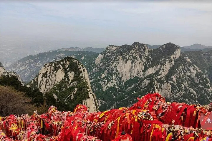 from $298
All-inclusive pick
Private Xi’an Day Tour to Huashan Mountain (Round-Trip Cable Car)
Private day trip with admission and round-trip cable car included, choosing West Peak up and down or North Peak up and down.
Check Availability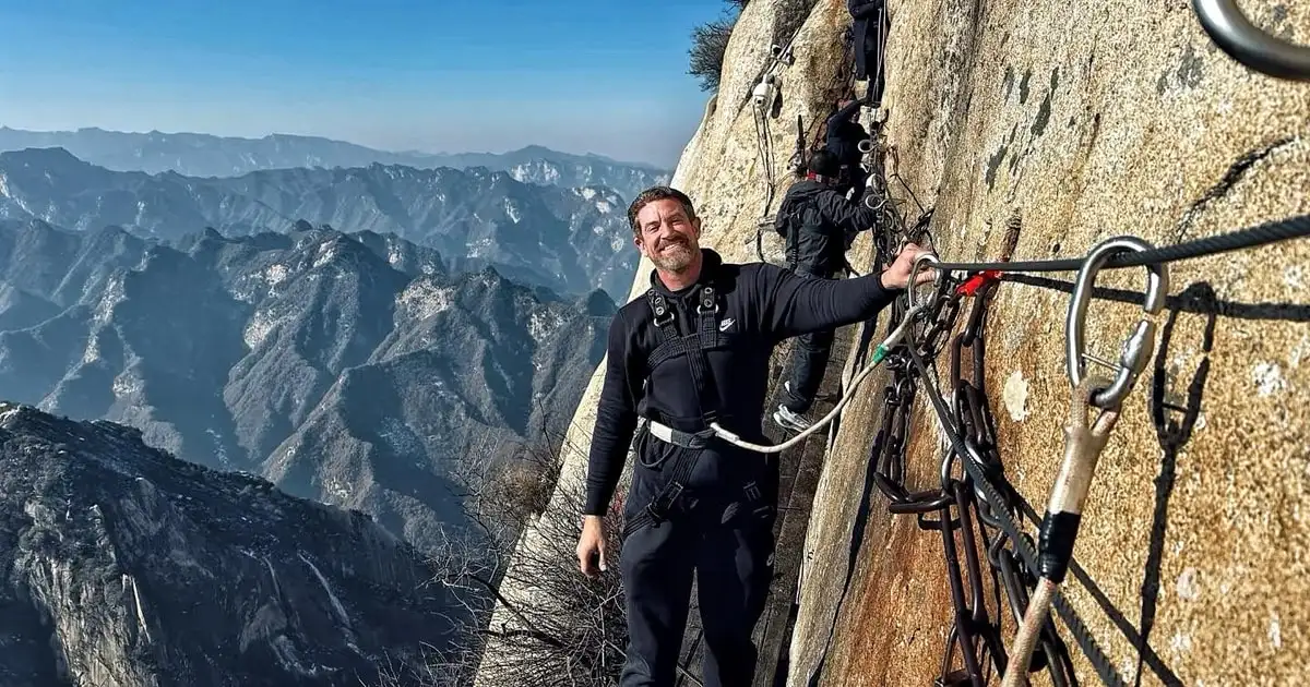 from $248
West up, North down
Xi'an: Huashan Private Tour with Cable Car and Guide
Private six-hour trip with guide, tickets, shuttles and West up, North down cable cars included.
Check Availability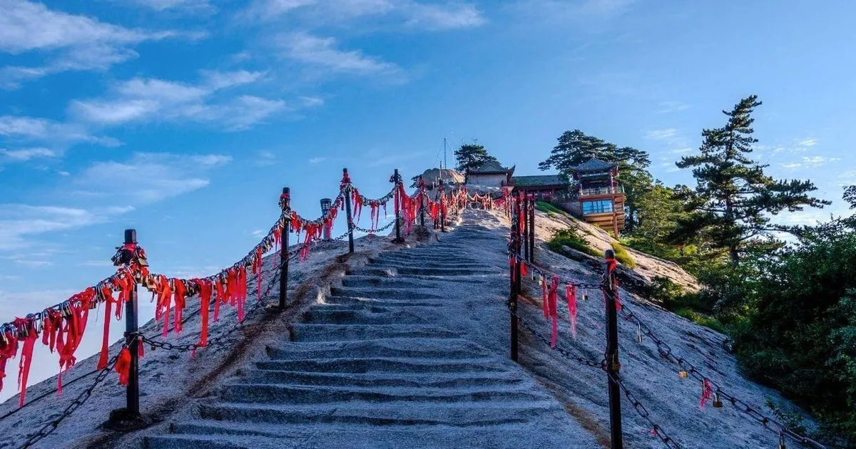 from $402
Xi'an: Private Mt. Huashan Hiking Tour with Round-trip Cable Car
Private hike to South Peak with entrance, cable car and lunch all included.
Check AvailabilityWhich Huashan route should I follow on the map?
Follow West Peak up and North Peak down for the classic day, or go up and down the North Peak cable car for the shortest one.
The scenic area suggests a classic one-day route that goes up by the West Peak cable car, visits the five peaks and comes down by the North Peak cable car. It puts this at 6 to 8 hours.
One day, two days and walking
China Discovery gives a one-day classic route of 8 to 9 hours starting on the North Peak side and a one-day leisure route of 6 to 7 hours that goes up by the West Peak cable car. It notes the North Peak cable car only reaches the North Peak, the lowest, a 2 hour walk from the East Peak. A two-day trip hikes up from Yuquan Temple in 4 to 5 hours, stays in guesthouses near the East Peak and comes down by the West Peak cable car after sunrise.
The scenic area gives 8 to 12 hours to hike up from Jade Spring Temple.
| Route | Time | Cable car |
|---|---|---|
| Classic, West up and North down | 6-8 h, scenic area | West one way, North one way |
| Classic from the North Peak side | 8-9 h, China Discovery | North up, West down |
| Leisure from the West Peak | 6-7 h, China Discovery | West return |
| Walk up from Jade Spring Temple | 8-12 h | None |
| Two days with a night near the East Peak | 2 days | West or none |
Source: Huashan Scenic Area.
Which parts of Huashan are closed?
The plank walk and Yaozi Fanshen are closed from 15 September 2026 for a full inspection and safety upgrade, and every other part stays open.
These two sections are on the South Peak side and near the East Peak. No competitor map marks them as closed, so the line on a printed map may still run through them.
What the closure means
The scenic area says the plank walk and Yaozi Fanshen reopen only after the work passes inspection. The reopening date will be announced on its official channels. The Changkong plank walk is on the cliff of the South Peak. Yaozi Fanshen is the chain-and-notch climb to the Chess Pavilion near the East Peak. The plank walk guide covers what that means for a day plan, and the Mount Huashan tours page shows which tours still run.
The cable cars can close too. The West Peak cable car closed from 11 to 30 November 2024 for maintenance while the North Peak cable car kept running.
Tickets for the map
The entrance ticket is CNY 160 from March to November and CNY 100 from December to February, valid for two days. The Huashan Gate for walking climbers is open 24 hours in the off-season, and the visitor center admits visitors from 08:00 to 16:00.
Sources: Guangming Daily, Huashan Scenic Area, Shaanxi Government, Weinan Government.
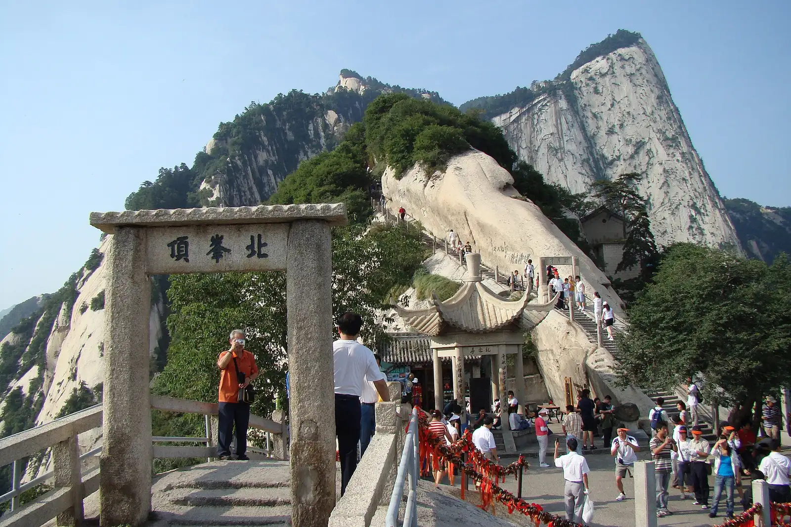
The North Peak gate is the first summit stop on the main route up. Photo: 山海风, CC BY-SA 3.0, via Wikimedia Commons
Huashan Map FAQ
Is there a Huashan map PDF?
No PDF is offered here. The map on this page is interactive and marks peaks, cable cars and trailheads. The Mount Huashan tours page lists tours that follow the routes.
Where is Huashan?
Huashan is in Huayin, Weinan, Shaanxi, about 120 km east of Xi'an. The scenic area covers 148.4 square kilometres.
Is there a Huashan hiking map?
The map on this page shows the hiking legs with times. For full route choices read Mount Huashan Hike.
How far is Huashan North station from the mountain?
About 5 km from the scenic area. A free shuttle or taxi covers the gap. See Mount Huashan tours for private transfers.
What is the highest point on Huashan?
The South Peak, at 2,154.9 m, is the highest of the Five Great Mountains. The plank walk guide covers the cliff beside it.
Are the plank walk and Yaozi Fanshen on the map open?
No. Both are closed from 15 September 2026 and no reopening date is announced. See the plank walk guide.
More Guides
- Huashan Plank Walk: Is It Open, and How Dangerous Is It?
The Huashan plank walk is closed from 15 September 2026. See what stays open in 2027, how to reach the South Peak and the tours that fit.
- Huashan Trail: Which Route Up Mount Huashan Should You Hike?
Huashan trail guide for 2027: the 6-8 hour classic route, the 8-12 hour climb from Jade Spring Temple and the hiking tours that fit.
- Huashan Cable Car: North Peak or West Peak, and What Does It Cost?
Huashan cable car 2027: hours 07:00 to 19:00, ride times and which tours include the fare. Compare both lines and check availability.